


3D Scanning of Large Cargo Ships
We provide 3D scanning services for all types of vessels and offshore platforms. 3D scanning is invaluable in the industry for facilitating upgrades or modifications to hardware and structural components.

Industry infrastructure digitization and digitalisation
Using 3D laser scanning technology and BIM-supported softwares, we produce digital twins of complex industrial facilities.

Leica-RTC360 3D laser scanners
Due to a wide range of modern 3D laser scanners and an experienced 24/7 operational team, we ensure high-quality fieldwork execution in an exceptionally short time.

3D Measurement and Digitization for the Process Industry
Our services include 3D laser scanning, BIM modeling, collision detection and analysis, transportation simulation and planning, reverse engineering, and virtual reality (VR) applications.
3D laser scanning is a fast and comprehensive method for converting physical objects into digital records. From a single position, the 3D scanner captures everything visible within a radius of up to 100 meters.
By positioning the 3D scanner at various locations around the room or object, we quickly obtain metric data in the form of a “point cloud.” This data is invaluable for conducting spatial analyses, such as collision detection, deformation monitoring, and comparing actual conditions with projected designs.
The point cloud also serves as the foundation for creating conventional 2D plans and 3D models of the existing structure or space. Increasingly, 3D scanning is being employed to produce 3D models in BIM software tools, which are widely used by designers and building owners within the BIM framework.

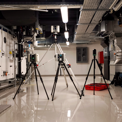
For 3D scanning, we use multiple terrestrial laser scanning units from Leica Geosystems (RTC360, BLK2GO). The systems enable rapid acquisition of large volumes of spatial data with high accuracy and measurement repeatability. By operating multiple scanners simultaneously, we can efficiently cover extensive areas and complex structures while maintaining consistent point density and data quality. This approach optimizes field acquisition time and reduces the need for additional measurements.
PRODUCTS
- Point Cloud: 3D geometry record with accuracy of 1-2 mm.
- 2D Plans: Includes facades, sections, details, and workshop drawings.
- 3D CAD Models: Formats include *.DWG, *.STEP, *.IGES, *.DXF, and more…
- BIM Models: We create “BIM-ready” models of existing objects in formats such as *.RVT, *.IFC, *.PDMS, *.E3D.
- Spatial Analyses: Deviation and collision monitoring, Construction monitoring including floor flatness and Levelness
- Visualization and VR/AR: Data for remote facility access, simulations, and digital twins.
APPLICATIONS
- Architecture and Construction
- Industry and Energy
- Shipbuilding and Offshore Platforms
- Heritage and Archaeology
- Pharmaceuticals and Process Industry
- Forensics
- Film and Media Production

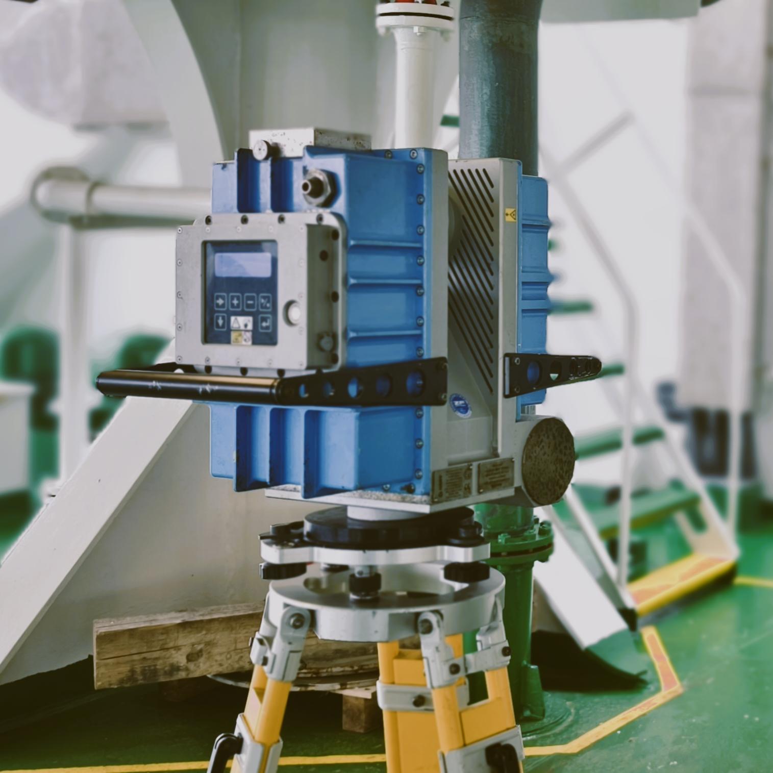
Explosion-Proof 3D Laser Scanning – Z+F IMAGER® 5006EX
We provide specialized 3D laser scanning services using the Z+F IMAGER® 5006EX, the world’s first ATEX-certified explosion-proof laser scanner. Designed for use in Zone 1 hazardous environments, this scanner is ideal for industries such as mines, oil & gas, petrochemical, offshore platforms, refineries, and processing plants.
With a range of up to 79 meters, high-speed data capture (up to 1 million points per second), and millimeter-level accuracy, the Z+F 5006EX delivers dense and highly detailed point clouds even in complex or confined environments. Its robust design and certified safety features allow for scanning in environments where standard equipment cannot be used.
By combining advanced scanning technology with experienced field technicians, we ensure safe, efficient, and accurate data capture in explosive atmospheres — minimizing downtime and maximizing project insight.
Selected Projects

Mechanical Room; 3D scanning and REE

Fast food restaurants chain, 3D scanning for interior design

Industrial building; Scan 2 BIM

Historical villa Scan 2 BIM

Rustical villa scan 2 BIM

Warehouse scant 2 BIM

Cinemas theatre Scan 2 BIM

Railway bridge 3D scan & Model
